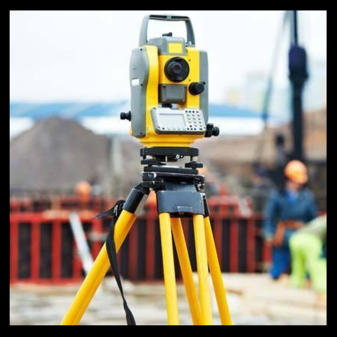
Surveying or land surveying is the branch of applied science which deals with the study of determining the terrestrial or three-dimensional position of points and the distances and angles between them. Usually these points are on the surface of the Earth, and primarily they are used to create maps and boundaries for ownership, locations such as the surface location of subsurface features, building corners or other purposes required by government or civil law, such as property sales.
It has not been known by many individuals that the world’s second-oldest profession is land surveying. In a simplest way, it can be defined as the art and science of mapping and measuring land. It is vast in scope but truly comes down to people’s land boundaries and where they are located. Land surveys are very essential for buildings, railroads, skyscrapers, airports and bridges. One of the prime examples of when a land survey is necessary is when a fence is added to a yard. Unless we know the exact boundaries of the fence, permit will never happen so in this case as in many, a land survey is needed.
When it comes to the design and construction element of any project, boundary surveys are a vital part of it. A specific boundary survey is conducted to give a precise location to the property that is in question. A trained land survey professional will come and inspect the topography of the land for many reasons. First of all, the engineering design needs precise land surveying results for the main purpose of designing. To ensure that the land in question is elevated to prevent building floods, is the key element in site design. Surveyors are supposed to determine the position of objects by measuring angles and distances. The elements that can affect the accuracy of their observations are also measured. They then imply this data to create vectors, bearings, coordinates, elevations, areas, volumes, plans and maps. A specific land survey involves following surveying techniques.
- Distance measurement
- Angle measurement
- Levelling
- Determining position
- Reference networks
- Datum and coordinate systems
- Errors and accuracy
Land surveying is one of the critical things in the world we live in today. An expert and professional land surveyor can help to eliminate issues that arise because of land boundaries. They are also considered the first people to be called in when advances and improvements are being made to public spaces and land we all use regularly. It is very essential to recognize that the only job of a surveyor is boundary line management and also to ensure public safety and allow us modern day conveniences such as bridges, roads and airports


